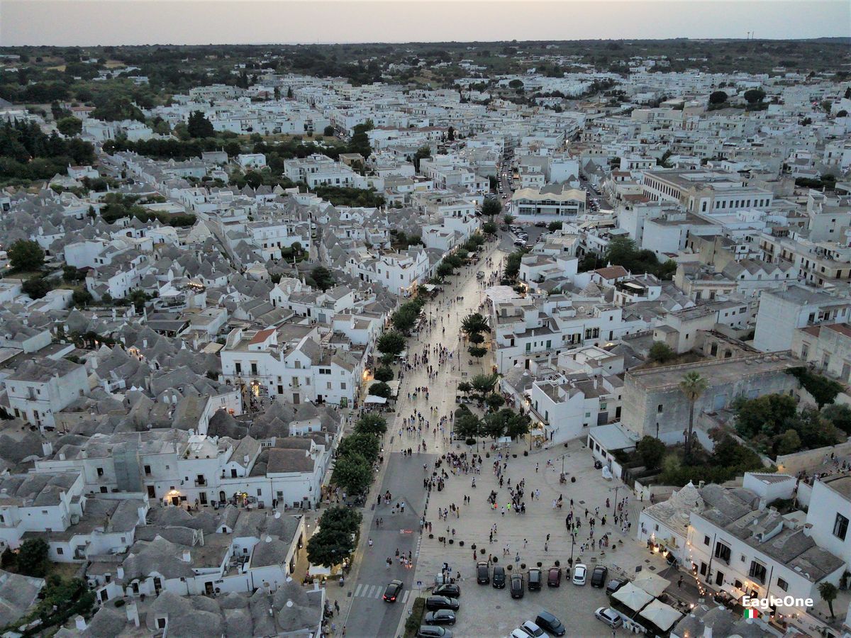
Alberobello
VisionAI
Footage from our drones, analysed with artificial intelligence to count, measure and map.
VisionAI processes flight footage, in real time or after the flight, and turns it into useful data. We focus on three areas where the view from above really makes a difference.
Agriculture
Surveying and mapping olive groves, vineyards and other crops, to plan work and follow the state of the fields over time.
Events and public spaces
Estimating attendance and crowd flows at festivals and large events, to support organisers and safety teams. We count people; we don't recognise them.
Construction and inspections
Measuring and surveying buildings, roofs and structures, for quotes, projects and technical checks without working at height.
Every VisionAI project is tailored: tell us what you need to measure.